Geo-Referencing
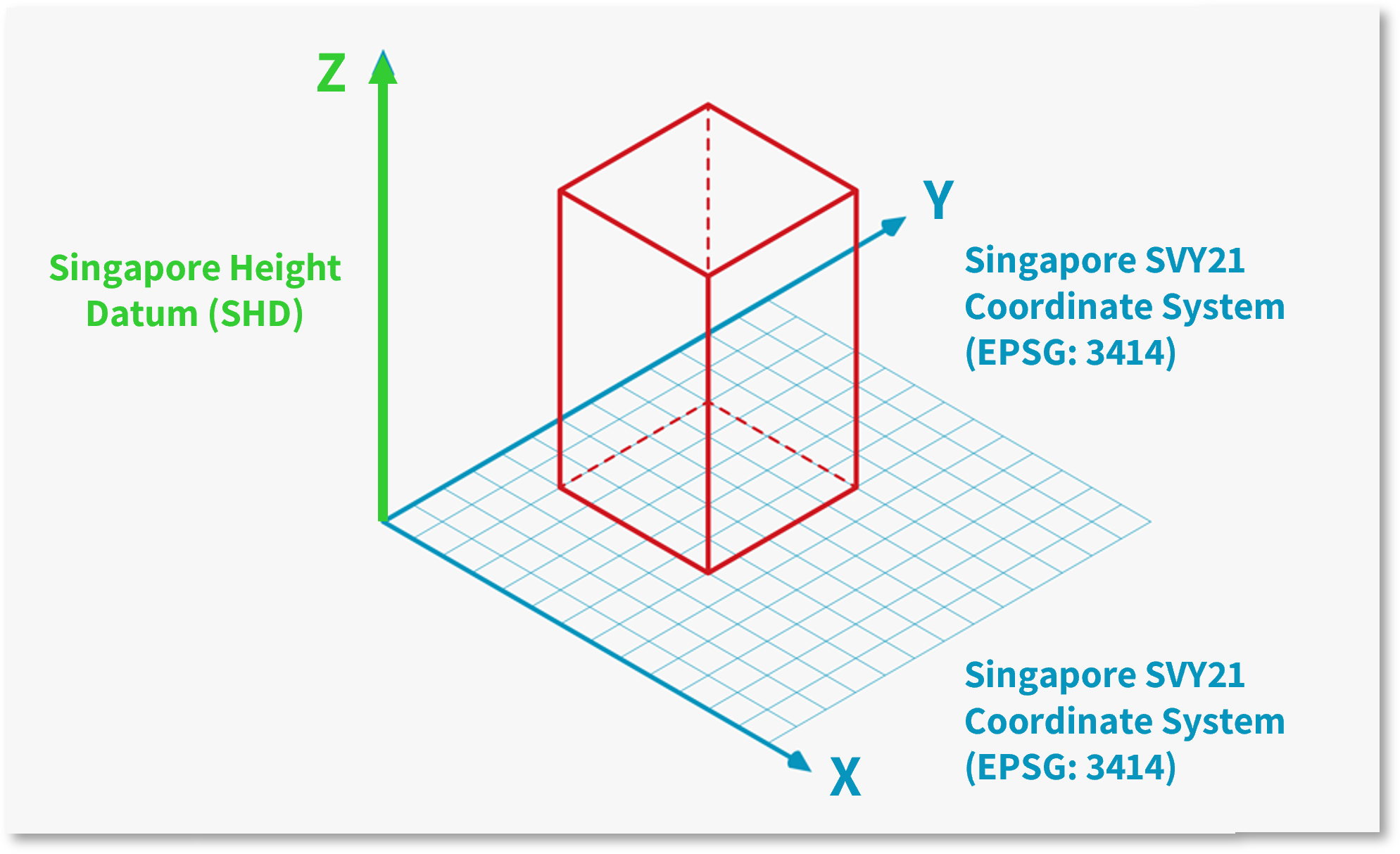
Models should also be correctly geo-referenced and assigned real-world coordinates from the Singapore SVY21 coordinate system (EPSG: 3414) for Easting and Northing (x,y), including dimensions between grids. The layout of each model shall be presented in True North or real-world orientation, and the elevation levels or Height (z) of the model shall be set up based on the Singapore Height Datum (SHD).

S2 – Fig 8: Geo-Referencing
The Singapore Institute of Surveyors and Valuers - Land Surveying Division has also come up with a video on geo-referencing, to explore how land surveyors and architects can work together to have more efficient workflow for future CORENET X submission.
For details and video demonstration on geo-referencing, please visit the CORENET X website here.